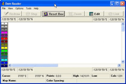
The DEM Reader is a special COMPASS program that allows you put surface terrain over the top of your cave plots. The surface terrain can be represented as grid of lines, contour lines or both grids and lines.
The data for surface can be entered manually from a topographic map or read from Digital Elevation Model DEM) files available from the United State Geological Service. Each DEM file contains the elevations of thousands of points over a particular portion of the land surface.
Comments